QGIS Desktop GIS Projects
Documents a series of QGIS-based workflows focused on desktop GIS analysis, highlighting skills in data management, spatial analysis, and cartographic design using vector and raster data.

GIS Graduate Student &
Environmental Health Professional
GIS Technology & Environmental Health
I am a graduate student in Geographic Information Systems Technology at the University of Arizona. I currently serve as a Senior Environmental Supervisor with Boston Public Schools, managing environmental health and safety programs with a focus on indoor air quality. I am particularly interested in spatial analysis and its applications to real-world environmental challenges.
A toolkit built across GIS coursework, geospatial programming, and professional experience.
GIS and geospatial projects developed through my graduate studies at the University of Arizona, demonstrating skills in desktop GIS, spatial databases, Python geospatial analysis, and web mapping.
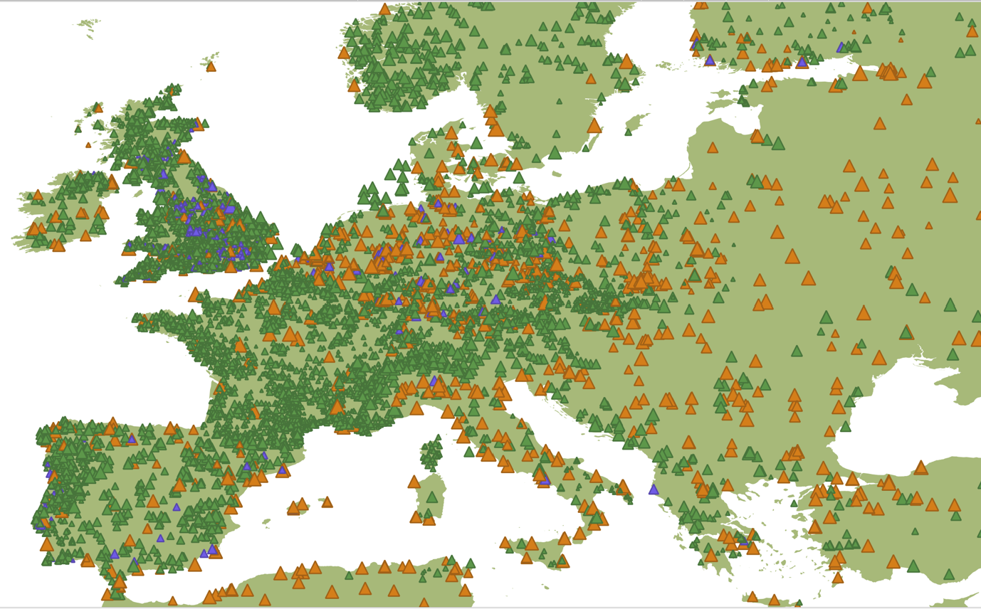
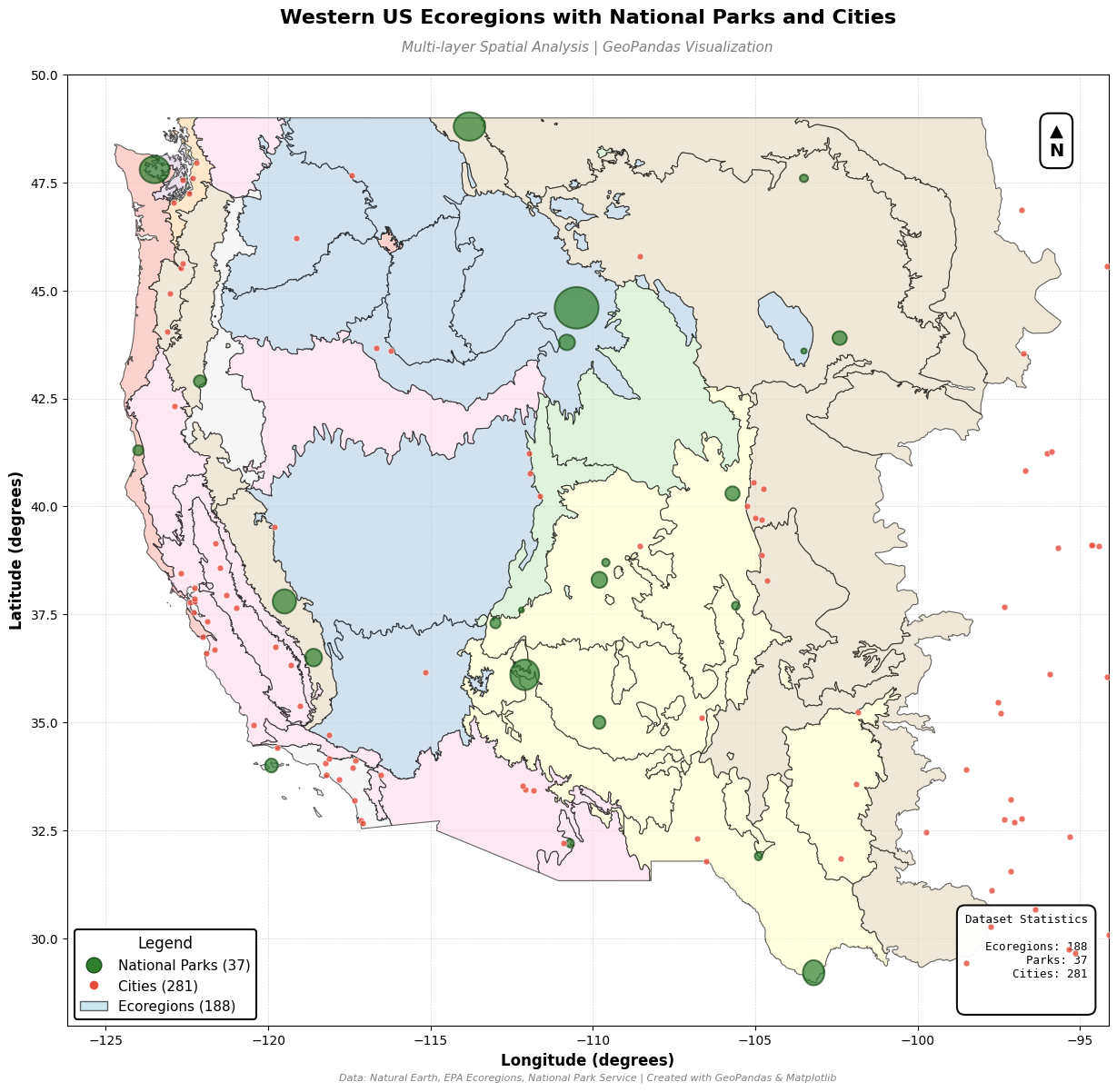
Documents a series of QGIS-based workflows focused on desktop GIS analysis, highlighting skills in data management, spatial analysis, and cartographic design using vector and raster data.
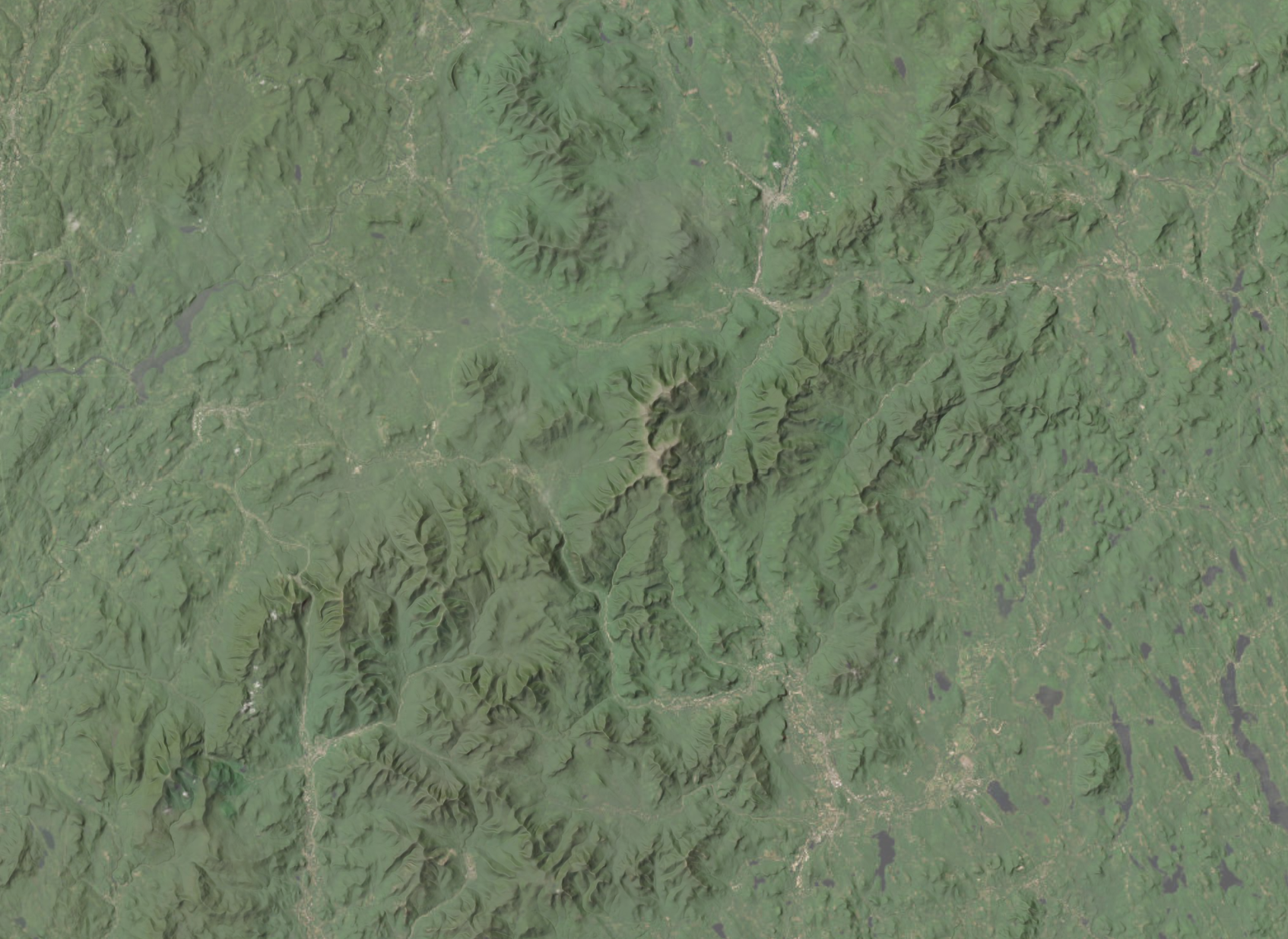
Demonstrates Python-based geospatial data analysis using Pandas, GeoPandas, and Rasterio, with automated testing and reproducible workflows integrating tabular, vector, and raster data.
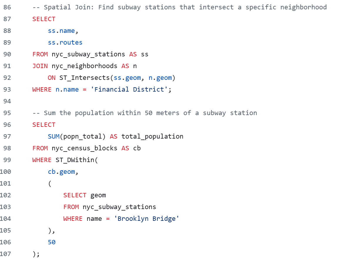
Demonstrates spatial database workflows using PostgreSQL and PostGIS in a containerized environment, with SQL queries analyzing New York City demographic and spatial datasets.
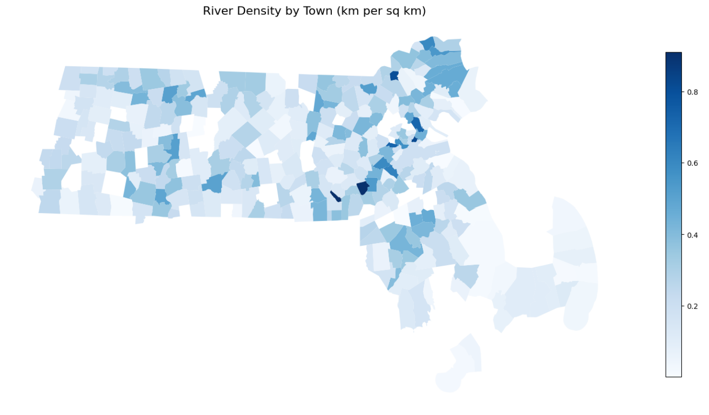
End-to-end spatial analysis workflow integrating OpenStreetMap, PostGIS, and Python. Builds a reproducible function to load OSM data, execute SQL analysis, and interpret results via Jupyter Notebooks across Arizona and Massachusetts.
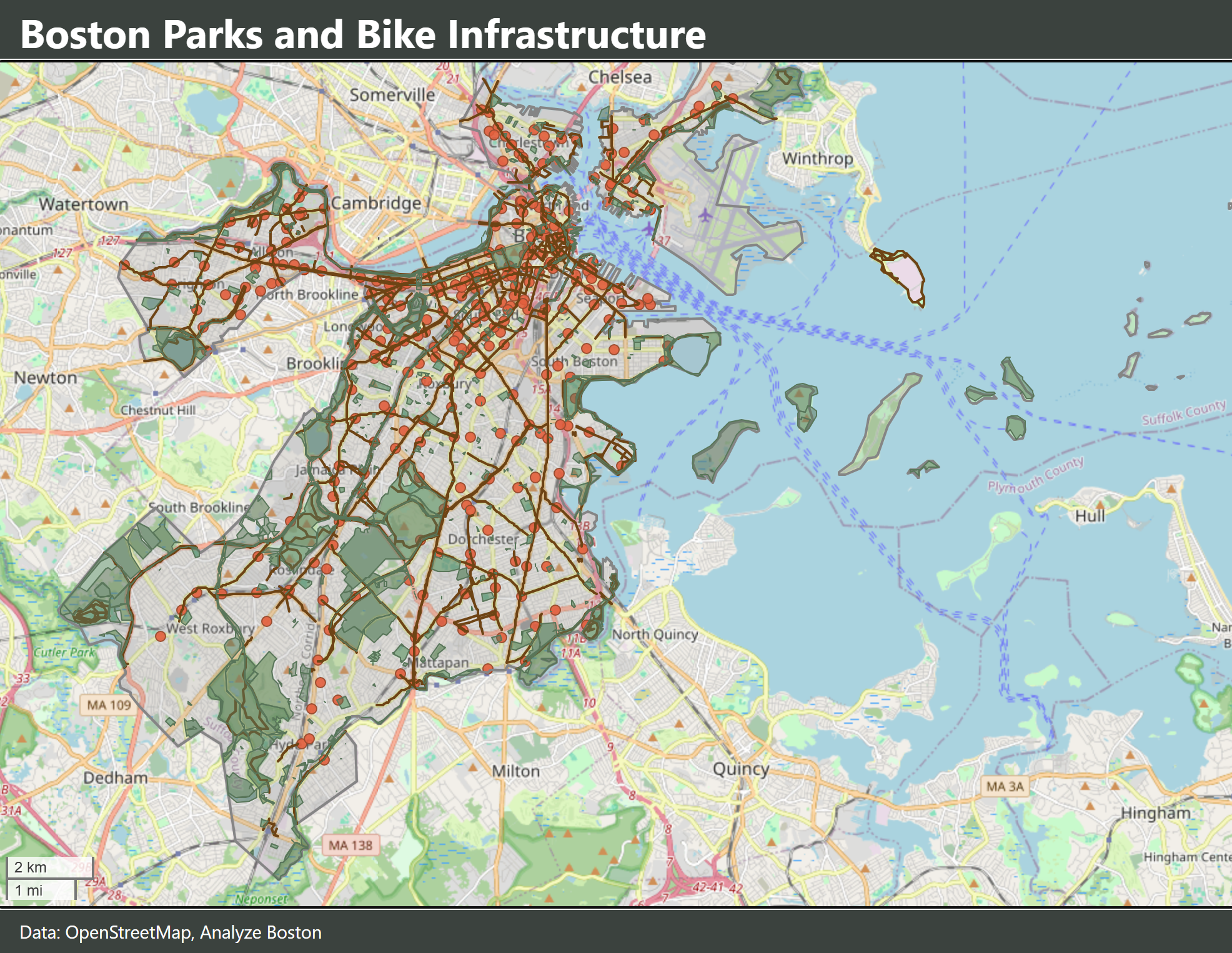
Demonstrates client-side web mapping using HTML, JavaScript, and Leaflet. Builds an interactive web map with GeoJSON data and deploys it using GitHub Pages.
Interested in my GIS work or have questions about environmental health applications of spatial analysis? Feel free to reach out.